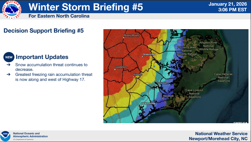
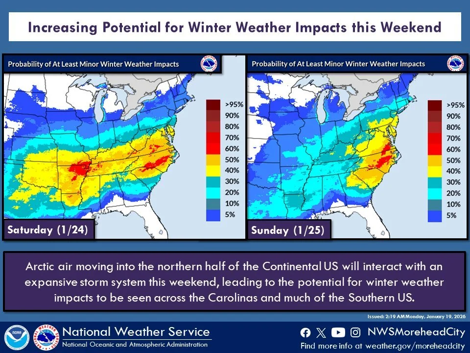
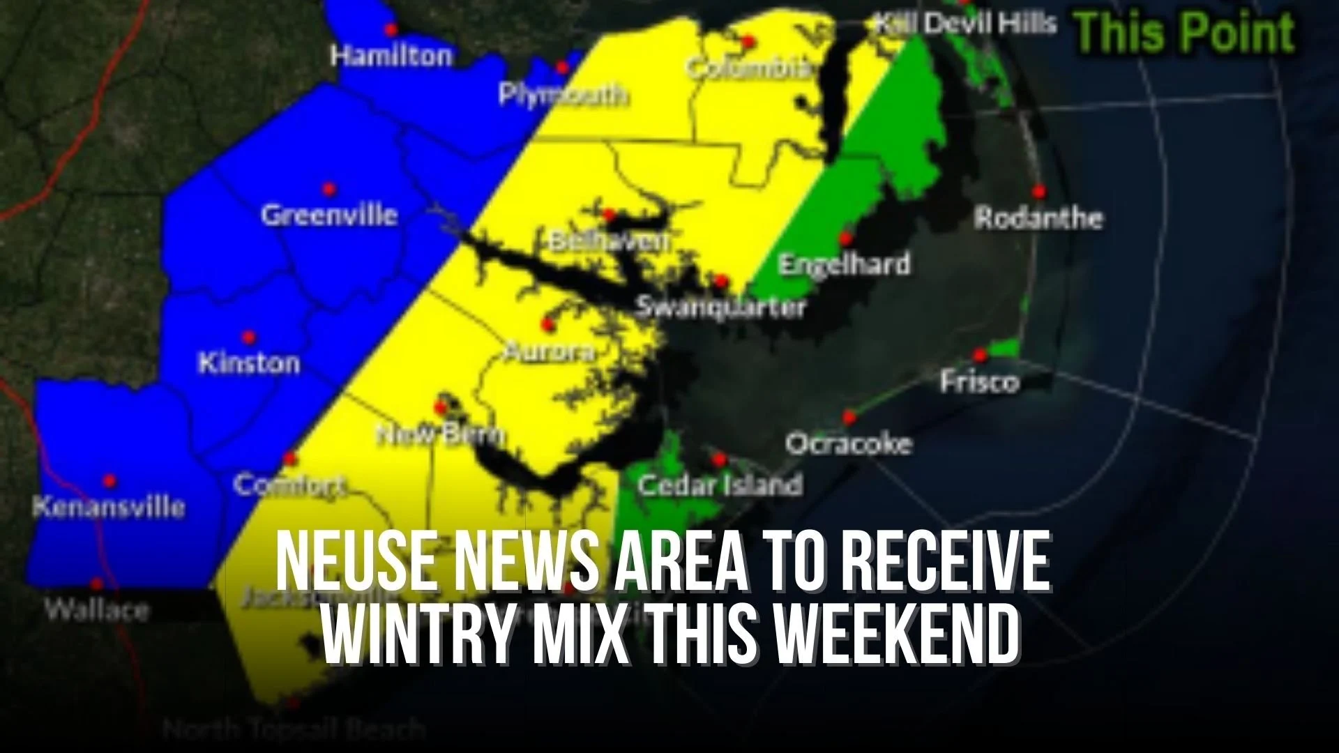
Greatest uncertainty in freezing rain impacts has now shifted west to the Hwy 17 corridor with little to no freezing rain accumulation currently forecast along the coast.
All tagged storm
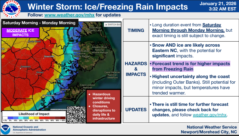
NWS: Increased confidence in ice and freezing rain impacts this weekend
The biggest changes this morning are increased confidence in ice and freezing rain impacts, and lower probabilities of snow impacts for most, except those along and north of US 264.
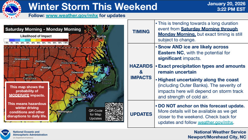
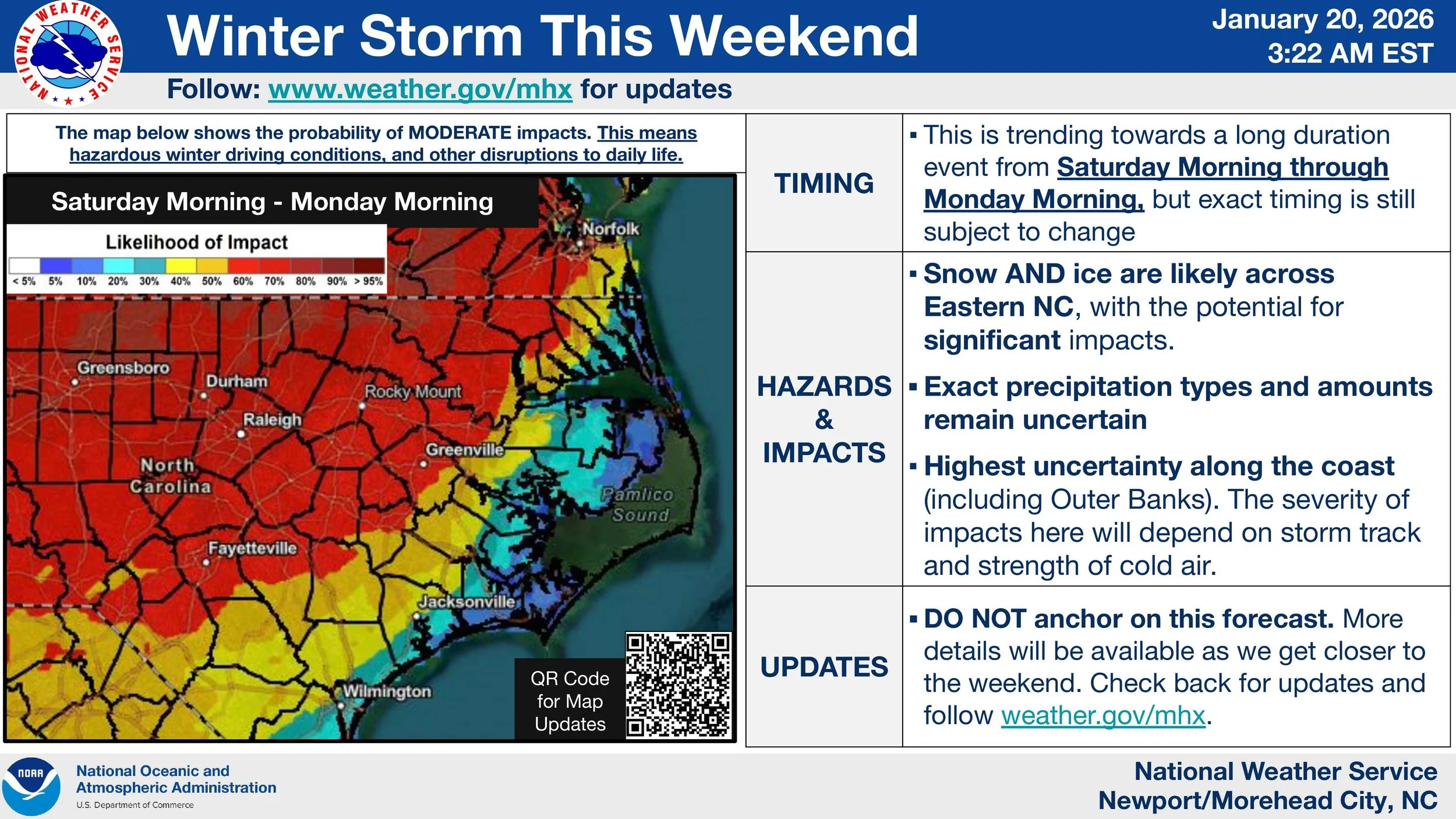
NWS: Potential continues to increase for significant impacts this weekend into next week.
It remains too early to pinpoint amounts or where specific precipitation types will set up, but potential continues to increase for significant impacts this weekend into next week.
NWS: Confidence increases for weekend winter storm
Confidence continues to increase for a winter storm to unfold across Eastern NC this weekend.
NWS: Increasing Potential for Winter Weather Impacts This Weekend
Chances are increasing that we could see winter weather impacts this weekend as an expansive storm system moves across the Southern US and interacts with Arctic air.
NWS: Chance for light winter weather increasing
Confidence is increasing that a low pressure system will bring a threat for some light wintry weather to impact Eastern North Carolina Friday Night into Saturday
NWS: Impacts from potential Tropical Cyclone Four may occur as soon as Tuesday, Wednesday
Impacts from potential Tropical Cyclone Four. may occur as early as Tuesday or Wednesday. Our first briefing is emphasizing that heavy rain, flooding and rip currents are the main threats as of now.
NWS: Strong cold front may bring multiple hazards Tuesday, Wednesday
Confidence continues to increase regarding the potential for multiple hazards across Eastern NC on Tuesday and Wednesday next week (January 9-10th). Some of these hazards could be significant.
NWS: Coastal storm expected to impact Eastern North Carolina
A coastal storm is expected to impact eastern North Carolina this weekend
Neuse News area to receive wintry mix (or snow) this weekend
Precipitation will likely begin early Sunday morning as a wintry mix before transitioning to moderate to heavy rain by Sunday afternoon.
Governor Cooper warns Eastern NC to prepare for severe storms
Over the next 12-24 hours, portions of North Carolina could see severe storms, heavy rain, significant snowfall, gusty winds, and coastal flooding. Governor Roy Cooper urges North Carolinians to stay aware of the local weather forecast and prepare for the conditions expected in your area.
Photo Gallery: Hurricane Dorian
Hurricane Dorian’s aftermath in our area as captured by Bud Hardy and Linda Whittington.
Important contact info for Hurricane Florence (Updated 5:04 pm - 9/14/2018)
In the days ahead as we brace for Hurricane Florence, should you need additional information or help, use these links:

