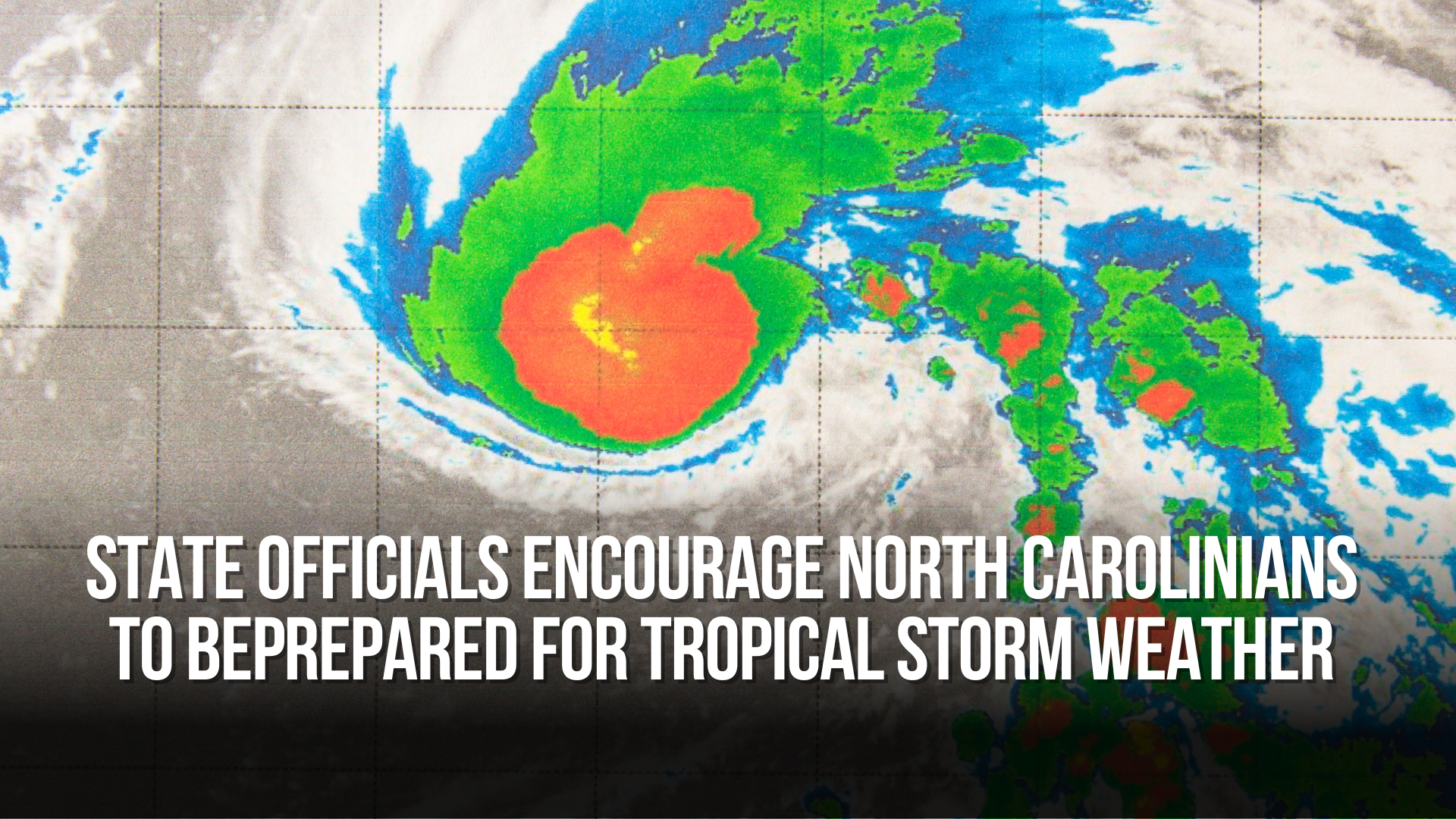
Tropical Storm force winds Friday through Saturday
A low-pressure system off the Southeast coast will bring significant impacts to Eastern North Carolina from Friday through Saturday.
Key points to note:
Expansive Wind Field: The storm's wind field is extensive and will reach beyond its center. This means impacts such as strong winds can occur well outside the forecasted cone.
Storm Surge & Inundation: Coastal areas could experience significant inundation, with water levels rising up to 2-5 feet. This could lead to flooding of low-lying roads and properties.
Windy Conditions: Tropical storm-force winds are expected, potentially causing scattered tree damage and power outages. The highest wind speeds are anticipated near the coast, and the strongest winds are likely to occur from this afternoon into Saturday.
Flooding Threat: Widespread rainfall of 3-5 inches, with isolated areas receiving up to 7 inches, may lead to localized flash flooding. Urban and areas with poor drainage are particularly vulnerable.
Tornado Risk: The storm brings the possibility of several tornadoes, which could result in damage and disrupt power and communications in affected areas.
Power and Communication Outages: There's a potential for scattered power and communication outages, so residents should be prepared.
Safety Reminders: It's crucial for individuals to exercise caution and avoid driving through flooded roads, as most flood-related fatalities occur in vehicles. A Flood Watch is currently in effect.
Rainfall Forecast: Anticipate an average of 3-5 inches of rain, with isolated areas receiving up to 7 inches. The heaviest rain bands may trigger localized flash flooding.
Timing: These conditions are expected from now through Saturday.
Residents in the affected areas should stay informed about the storm's progress, follow safety guidelines, and be prepared for potential impacts related to this developing cyclone.


